This lab was designed to increase my remote sensing skills using Erdas Imagine. Our goal was to use methods taught to us in lecture in a practical setting using images from the local Eau Claire area. We were given multiple images taken from 1991-2011 and asked to enhance, fuse, mosaic, and focus these images as to further enhance them for future interpretation.
Methods:
In this lab we were tasked to learn how to create an area of interest (in multiple ways), fuse multiple images to enhance an images quality, enhance images, link our image viewer to google earth, resampling (or changing the size of the pixels in an image), mosiacing images to obtain a larger viewing area (using multiple methods), and finally using binary detecting to see how an image has changed over time.
Results:
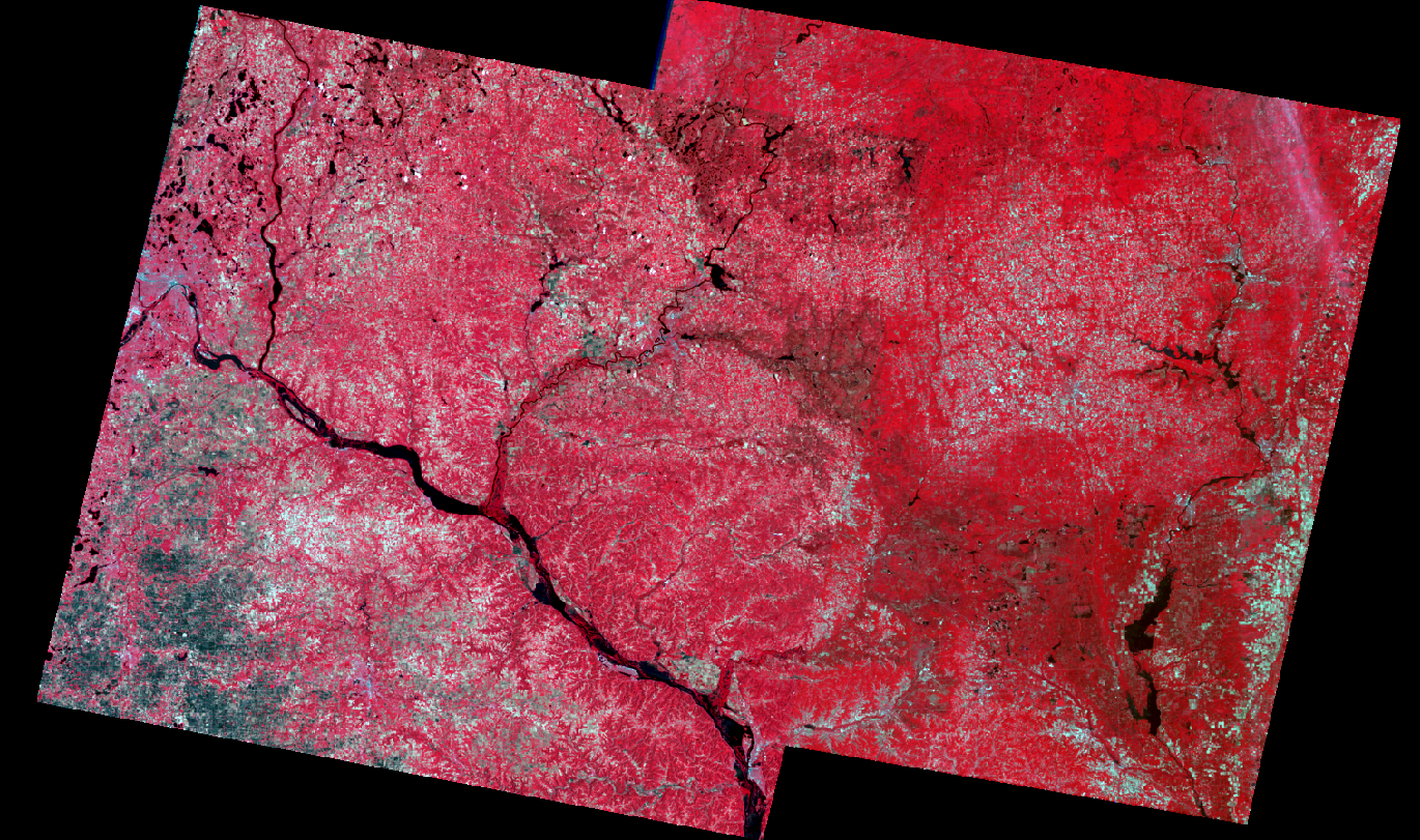
In our mosiacing portion of the lab we were asked to use two different methods to mosaic two images from the areas surround Eau Claire. The image directly below is the first way we were asked to do it:

Later on in the lab we were asked to go through a process to determine where images have changed from 1991-2011, using a series of processes I was able to develop a map showing the areas of change, as seen below:

This showed that rural areas have seen the most amount of change during this time period.
Sources:
Programs Used:
Erdas Imagine
Google Earth
ArcMap